Celebrating innovation in GIS
Beginning in 2021, GISRUK launched a series of international seminars celebrating innovation in Geographical Information Science. If you would like to hear about up-coming seminars, please sign up to the GISRUK mailing list. In January
2023 the Royal Geographical Society (RGS) and GISRUK joined their seminar series to form the
RGS GISRUK GIScience Webinar series. The Webinar series is co-chaired by
Peter Mooney (Maynooth University, Ireland) and
Stef De Sabbata (University of Leicester, UK).
In this collaborative venture both GISRUK and the RGS team share the organisation and hosting of the seminars. The speakers below are listed from the GISRUK-led seminars since 2021. Check the
RGS GISRUK GIScience pages for more details of the RGS-led seminars.
Jun.-Prof. Dr René Westerholt, Department of Spatial Planning, TU Dortmund, Germany

20th November 2024 15:00 – 16:00
Statistical challenges in analysing self-reported ambient geospatial data
The boom phase of user-generated data has passed, and the subject has become a mainstream theme of GIScience research. However, this does not mean that there are no more open questions. Self-reported ambient geospatial data particular, which involves the incidental and often unwitting collection of spatial data, presents us with analytical challenges. This kind of data is an interesting source of unadulterated in-situ reflections of everyday human life and collective geographies but lacks scientifically controlled data acquisition and is the result of a complex reduction process from meaningful places to content referenced at geometric point locations. Taking a statistical perspective, my talk introduces the audience to my research of the last decade.
A key focus will be on the properties of estimating spatial autocorrelation – the statistical basis of spatial structures such as clusters or regimes – and its interplay with ambient geospatial data. I will thereby touch upon issues of scale, heterogeneity, stationarity, and inference procedures. The talk will mainly take the perspective of spatial footprints of places. In addition, I will also offer an outlook on a prospective change of perspective towards the concept of place itself without taking detours via geometries.
Dr Afra Mashhadi, Assistant Professor of Computing and Software Systems, and Adjunct Assistant Professor of Information School, University of Washington, USA
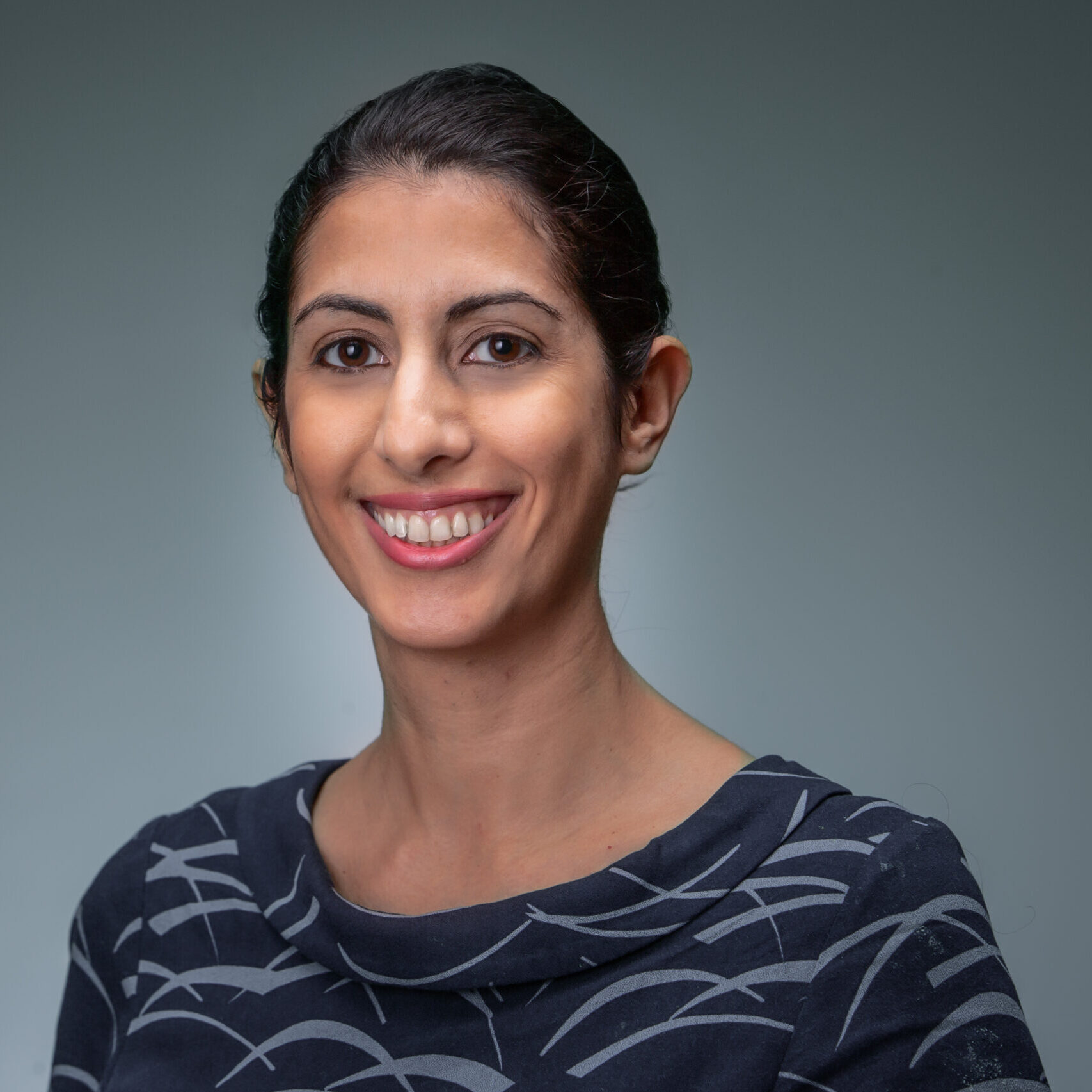
18th September 2024 15:00 – 16:00
Robust and Equitable Mobility Models
The COVID-19 pandemic and the resulting economic recession negatively affected many people’s physical, social, and psychological health and has been shown to change population-level mobility, but little attention has been given to park visitations as an indicator. In this talk, I present the results of our Nature study in understanding trends in park visitation one year prior to and two years during the COVID-19 pandemic in Washington State (USA). I will show that modelling the recreational mobility using the gravity model results in a robust model for different spatial resolutions of city level and state level and different socio-economical classes. I will then conclude the talk on how we as the research community need to focus on metrics that can quantify fairness and equity of mobility models.
Dr Tracey P. Lauriault, School of Journalism and Communications, Carleton University Ottawa, Ontario, Canada
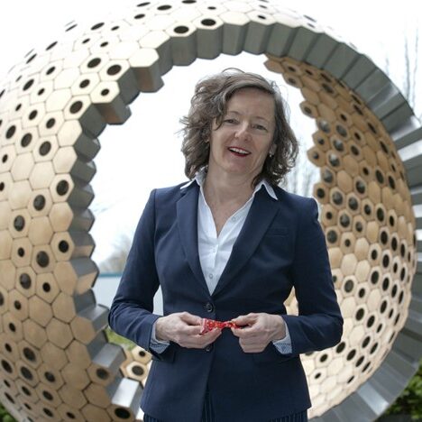
15th November 2023 14:00 – 15:00
Governing Digital Twins as Spatial Data Infrastructure and Public Spaces
The Carleton University Immersive Media Studio (CIMS) was awarded a New Frontiers in Research Fund (NFRF) Exploration program grant to Imagine Canada’s Digital Twin. One aspect of the project is data governance and business models. Early on, it was discovered that the Architecture, Engineering, Construction, and Owner Operators (AECOO) sectors involved in building digital twins in Canada do so in the absence of spatial data infrastructure thinking, which is unfortunate, as one might suggest that they are fledgling SDIs, just in a different sector.
In addition, digital twin literature and practice remain technologically oriented, private sector focused with little regard for data governance, collaborative business models, and openness (data, science, source, specifications/standards). Further, there is very little discussion about privacy, cybersecurity, and the potential for surveillance. It is argued here that without consideration for data governance, digital strategies, public policy and legalities, digitals twins risk gaining the same negative public attention as smart cities and the Sidewalk Labs Quayside Toronto Project did.
There is much public good that can be derived from digital twins, and it will be argued here, that those involved in their creation, ought to be more public facing and engage the public and governors in their creation and use, build them as and incorporate them into existing spatial data infrastructures, and conceptualize them as shared public spaces where we can imagine, plan and model the future.
Prof. Maggi Kelly, Dept. of Environmental Sciences, Policy & Management, UC Berkley

18th January 2023 16:00 – 17:00
Mapping for Impact in a Dynamic California
Geographical Information Systems have been changing radically in recent years with numerous innovations. We have new data streams – from models, from phones, from APIs, from satellites, from UAVs, from field sensor, and new technological advances in computing. There is more public focus on geography, and more scales of interest and ways to engage with spatial data. Data is more personal than ever and at the same time broader.
In this seminar, Dr. Kelly argued that the spatial technological landscape is more relevant than ever, providing more chances to and more need to collaborate. In fact, many of us working in the field are using “spatial data science” rather than GIS to better describe the ways in which data, analytics, and collaboration intersect.
Dr. Kelly covered three case studies from my work in California: Mapping forests with lidar and the resulting emerging analytics landscape; using resilient historical ecological data to study vegetation change; and mapping vegetation with UAV imagery as an insight into public outreach.
Dr Filip Biljecki, National University of Singapore, Singapore
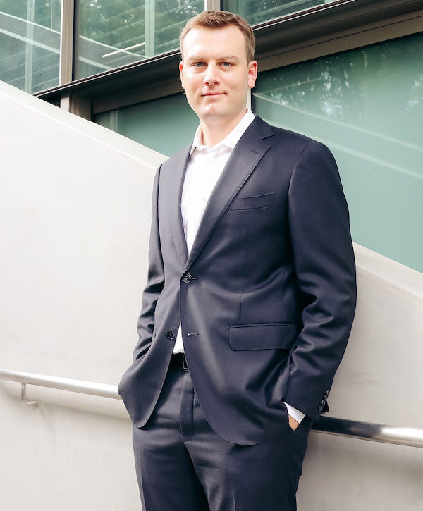
September 2022 14:00 – 15:00
Crowdsourced street view imagery and urban form
We are delighted to announce that Dr Filip Biljecki, Assistant Professor, Department of Architecture, College of Design and Engineering, National University of Singapore will deliver the 4th GISRUK Online Seminar series lecture on “Crowdsourced street view imagery and urban form”.
The talk will overview recent research activities of the NUS Urban Analytics Lab, a research group that explores the interface of emerging urban data sources, crowdsourcing, and AI techniques such as computer vision. The Lab is spearheading research lines such as new means to generate and analyse high resolution data of the urban form, and developing novel instruments to assess and support urban sustainability. The talk will largely focus on latest developments in crowdsourcing street view imagery and data to characterise the urban form.
Dr Máiread de Róiste, Victoria University of Wellington, New Zealand

March 2022
Thinking About Space in Virtual Reality
Covid disruption to socialising, working and travel over the last two years have meant a reconsideration of travel to physical spaces. Visiting locations plays an important part in the sense of place and creation of identity.
Changing technologies and lower costs make virtual reality (VR) technology more accessible. Immersive environments allow users to visit physical locations that may otherwise be restricted. Geographic applications that try to faithfully recreate the natural environment face distinct challenges. The impact on sense of place and spatial reconstruction based on VR is worth exploring. Geography can be bent, twisted or even folded.
This talk will explore through examples, some of the geographic considerations in VR apps with a particular focus on the ongoing development of whakapapa-a-ranga, an application co-designed with Ngāti Kahungunu ki Wairarapa – an indigenous Māori iwi (tribe) in Aotearoa New Zealand.
Dr Song Gao, Geospatial Data Science Lab, University of Wisconsin-Madison, USA

November 2021
GeoAI for Human Mobility and Location Privacy Protection
We have witnessed recent advances in Geospatial Artificial Intelligence (GeoAI), which is the integration of geospatial technologies and AI, especially using machine learning and deep learning methods for geographic knowledge discovery and beyond.
The increasing location-based services have generated large-scale individual-level trajectory data through mobile phone tracking, wearable sensors, GPS devices, and social media. Those trajectory big data provide new opportunities to study multiscale human mobility patterns and human-place interactions. It also introduces grand challenges regarding the protection of geoprivacy and broader implications.
In this talk, Dr. Gao will present his research group’s latest research efforts on human mobility analytics and protecting user location privacy using various GeoAI approaches (e.g., using recurrent neural networks, generative adversarial networks, and graph convolutional networks).
Prof. Elena Demidova, The University of Bonn

March 2021
Semantic geographic knowledge on a world scale – interlinking OpenStreetMap and knowledge graphs
OpenStreetMap (OSM) is a rich source of openly available volunteered geographic information on a world scale. However, representations of geographic entities in OSM are highly diverse and incomplete. Knowledge graphs (i.e. graph-based knowledge repositories) such as Wikidata, EventKG, and DBpedia are a rich source of contextual semantic information about geographic entities.
For example, Wikidata contains over six million geographic entities, including locations, points of interest, mountain peaks, etc. Whereas knowledge graphs provide a wide range of complementary semantic information for geographic entities, interlinking between knowledge graphs and OSM is insufficient with the links mainly manually defined by volunteers.
This lecture will introduce emerging approaches that address tighter integration of OSM and knowledge graphs; it gives particular attention to link discovery and semantic enrichment of OSM datasets.